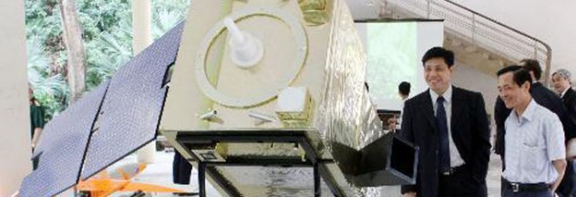
In its mission to monitor its marine and island environmental resources, Vietnam has released a partial result of spatial database on its seas and islands. The database is composed of multi-temporal spatial images of all the territorial waters of Vietnam including Hoang Sa (Paracel) and Truong Sa (Spratly) archipelagos.
The new database highlights the following details: topography of the archipelagos of Hoang Sa and Truong Sa; surface of coastal areas; physical, chemical and biological features of marine ecosystem; and a multi-temporal monitoring system. It will be able to detect any changes in the natural resources of its marine and island environment.
Aside from its technical capability, the new system is deemed even more significant because a number of maritime studies, mapping exercises and geological surveys were already done before but none produced a satisfactory outline of Vietnam’s territorial waters, especially Hoang Sa and Truong Sa archipelagos. To note, the previous tests used conventional methods. The utilization of remote sensing technology therefore proved its importance and especially its dominance since it can also access off-shore and even inaccessible areas, something which traditional processes have difficulty accomplishing, if not entirely impossible.
The project is a three-year work approved in Hanoi on November 13 in a long-term effort to guard the territorial waters of Vietnam using remote sensing technology, and overall goal of protecting the national defense and sovereignty of Vietnam.

