Vietnam Creates Spatial Database on Its Seas and Islands
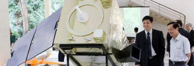
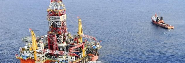
In its mission to monitor its marine and island environmental resources, Vietnam has released a partial result of spatial database on its seas and islands. The database is composed of multi-temporal spatial images of all the territorial waters of Vietnam including Hoang Sa (Paracel) and Truong Sa (Spratly) archipelagos. The new database highlights the following […]

